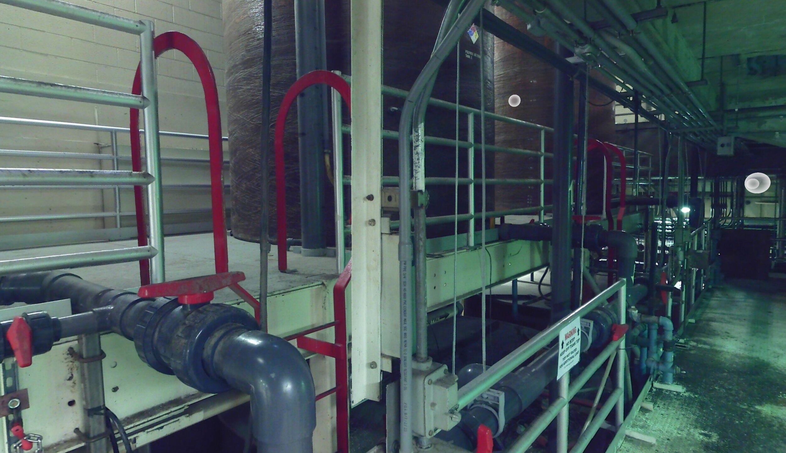
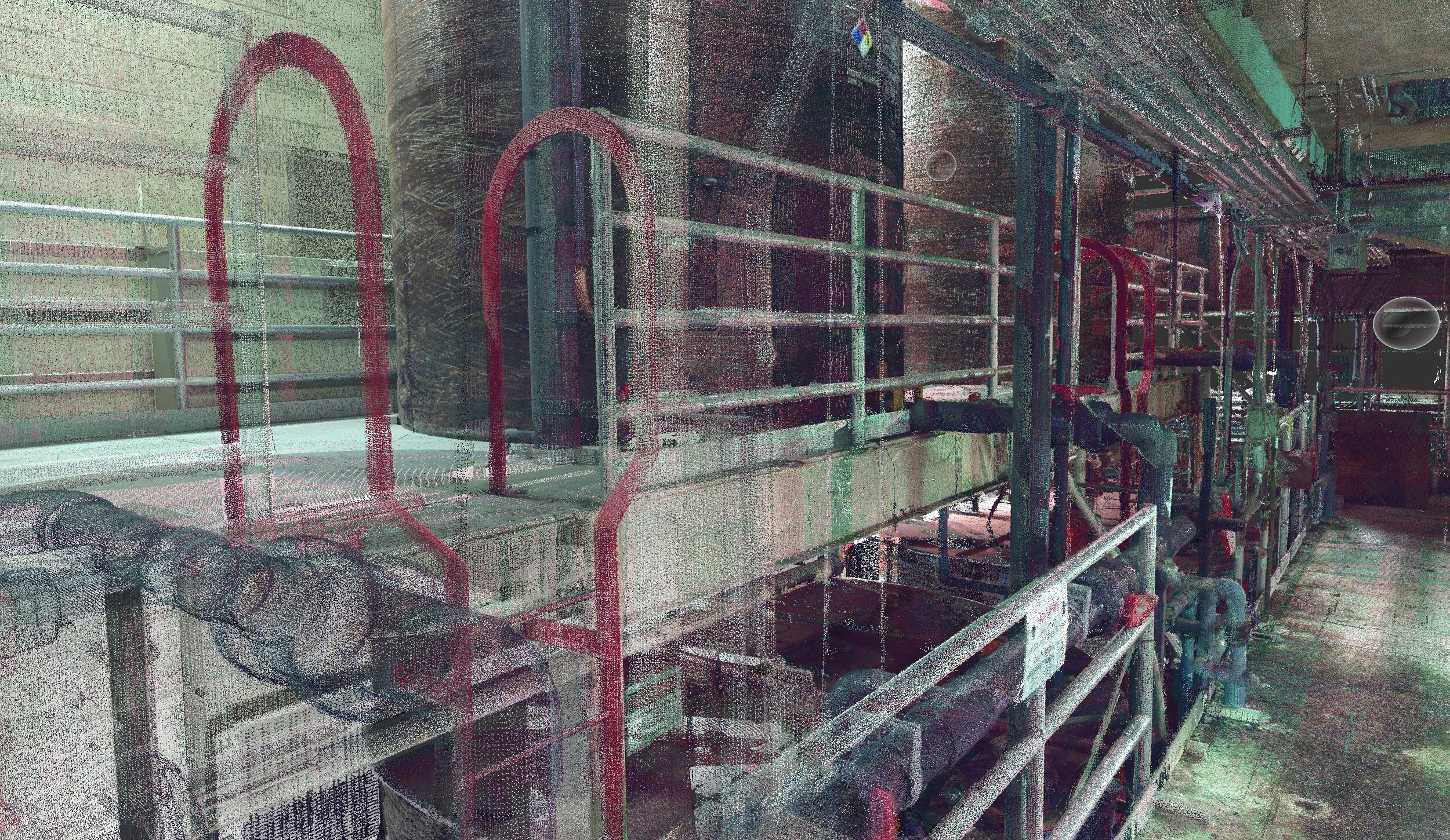
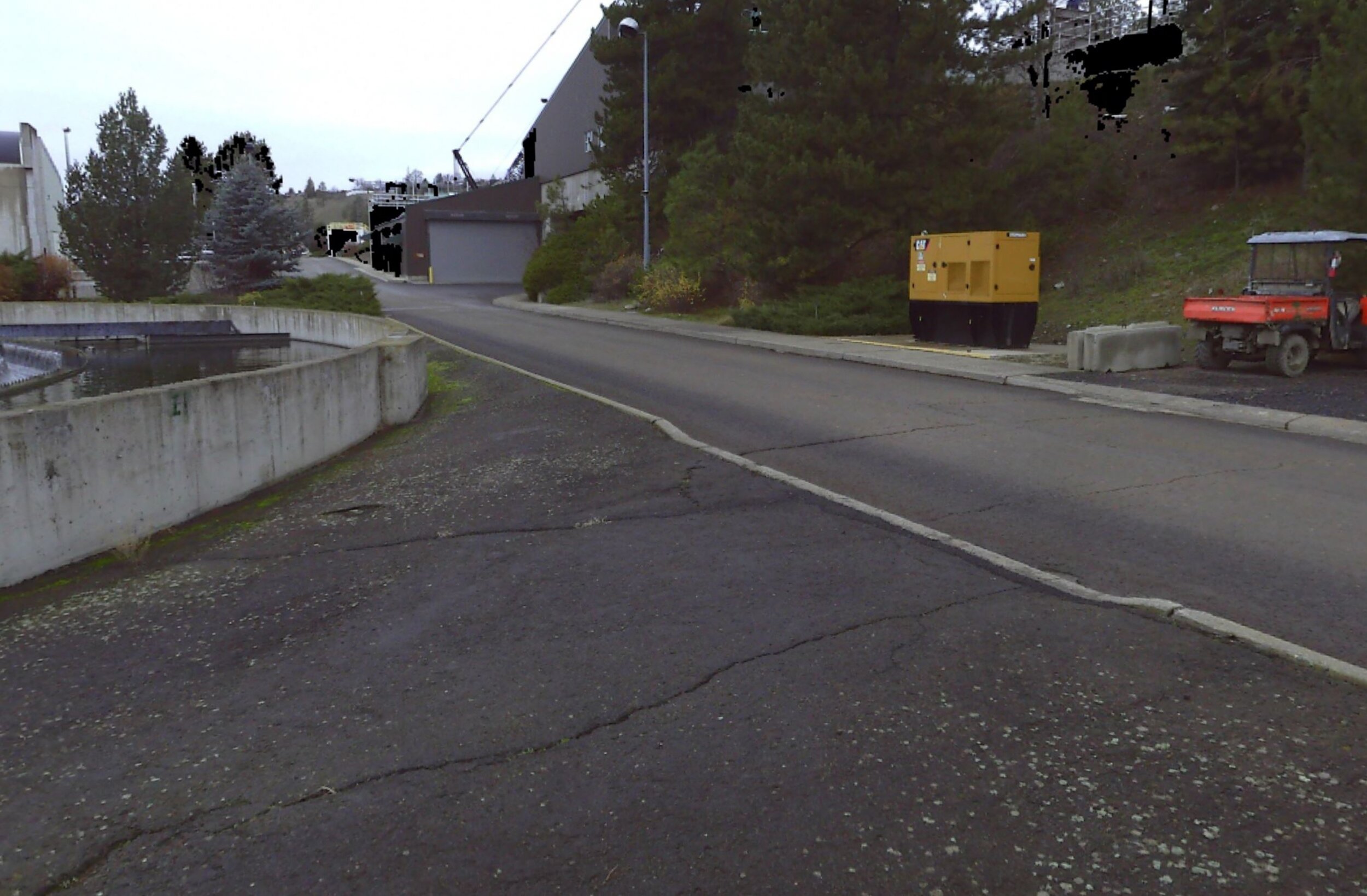
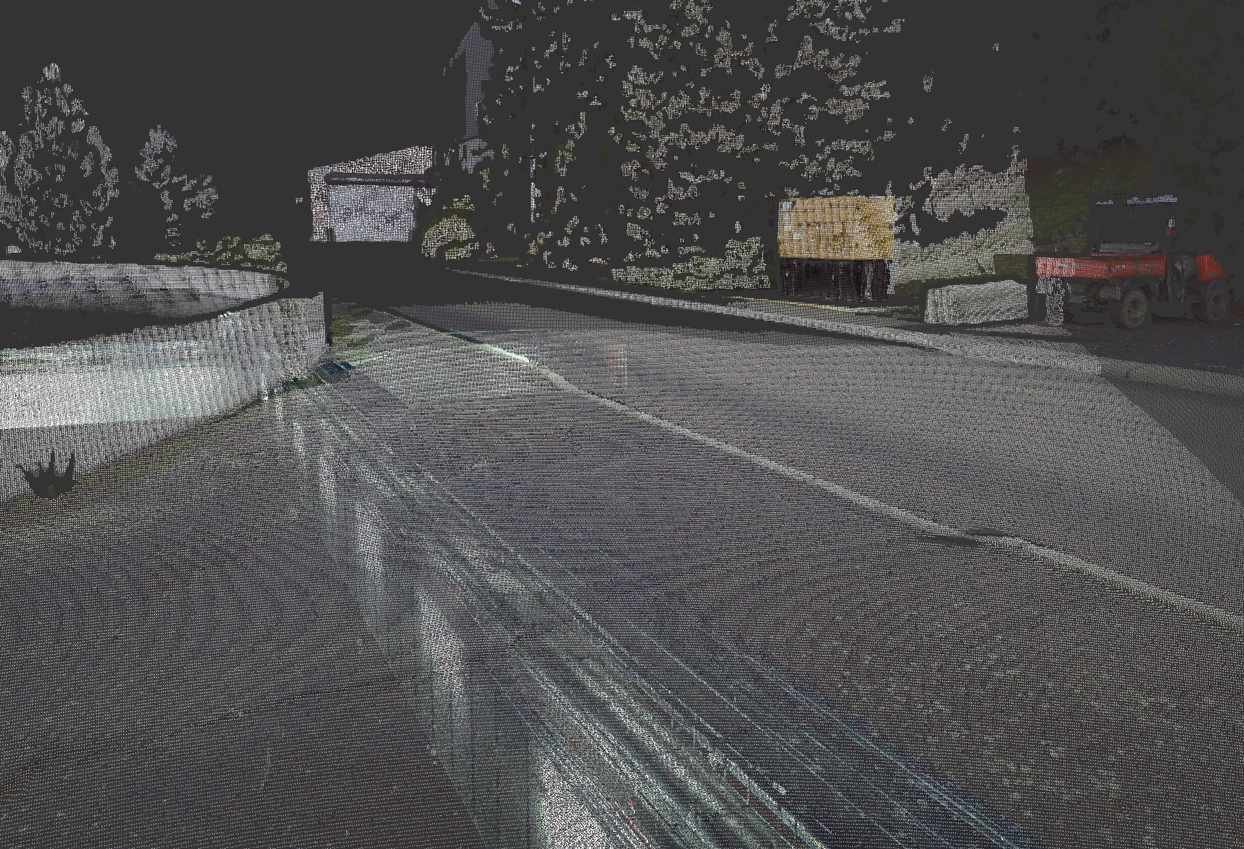
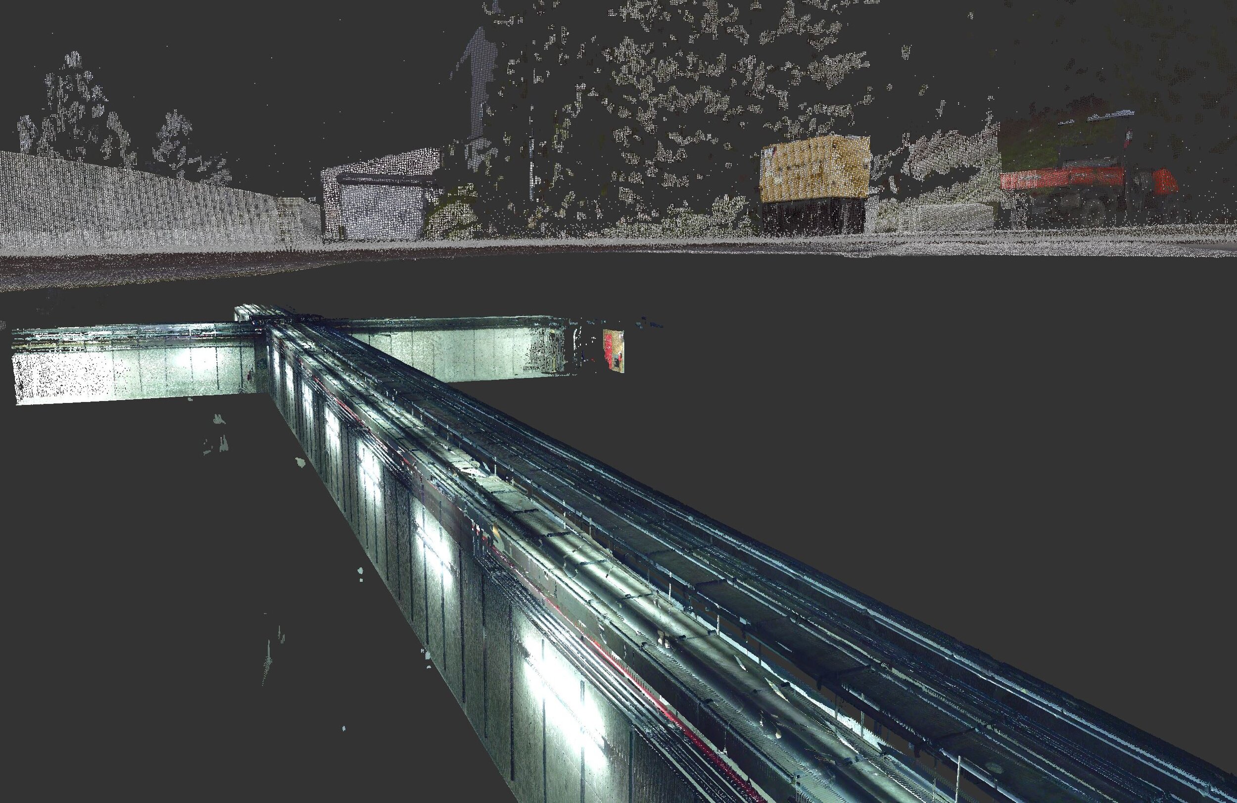
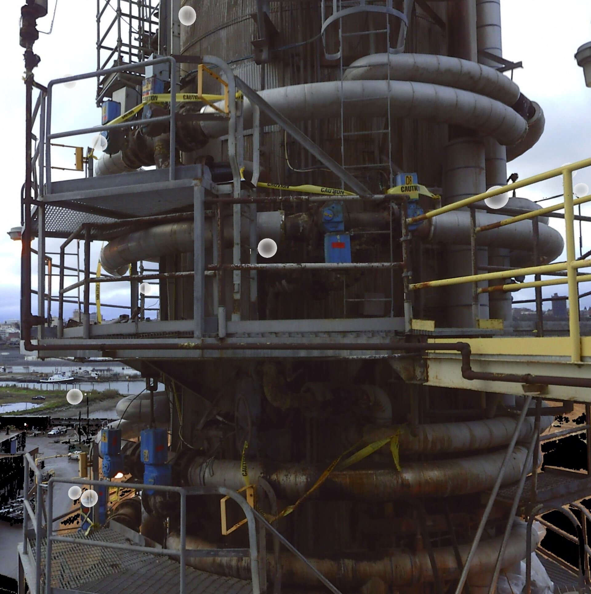
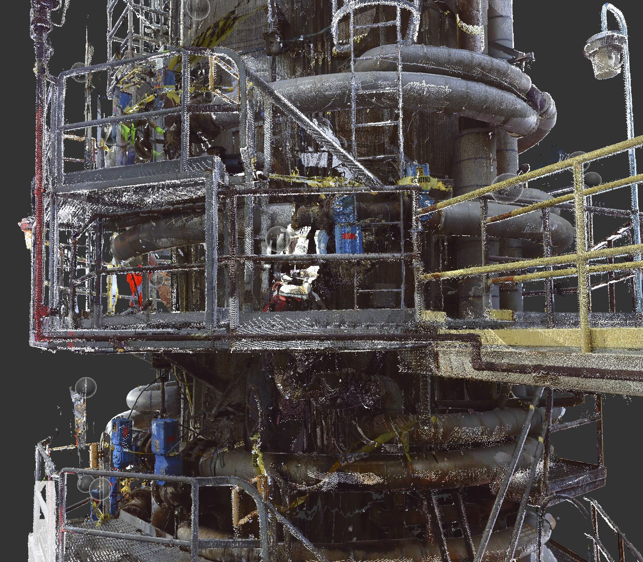
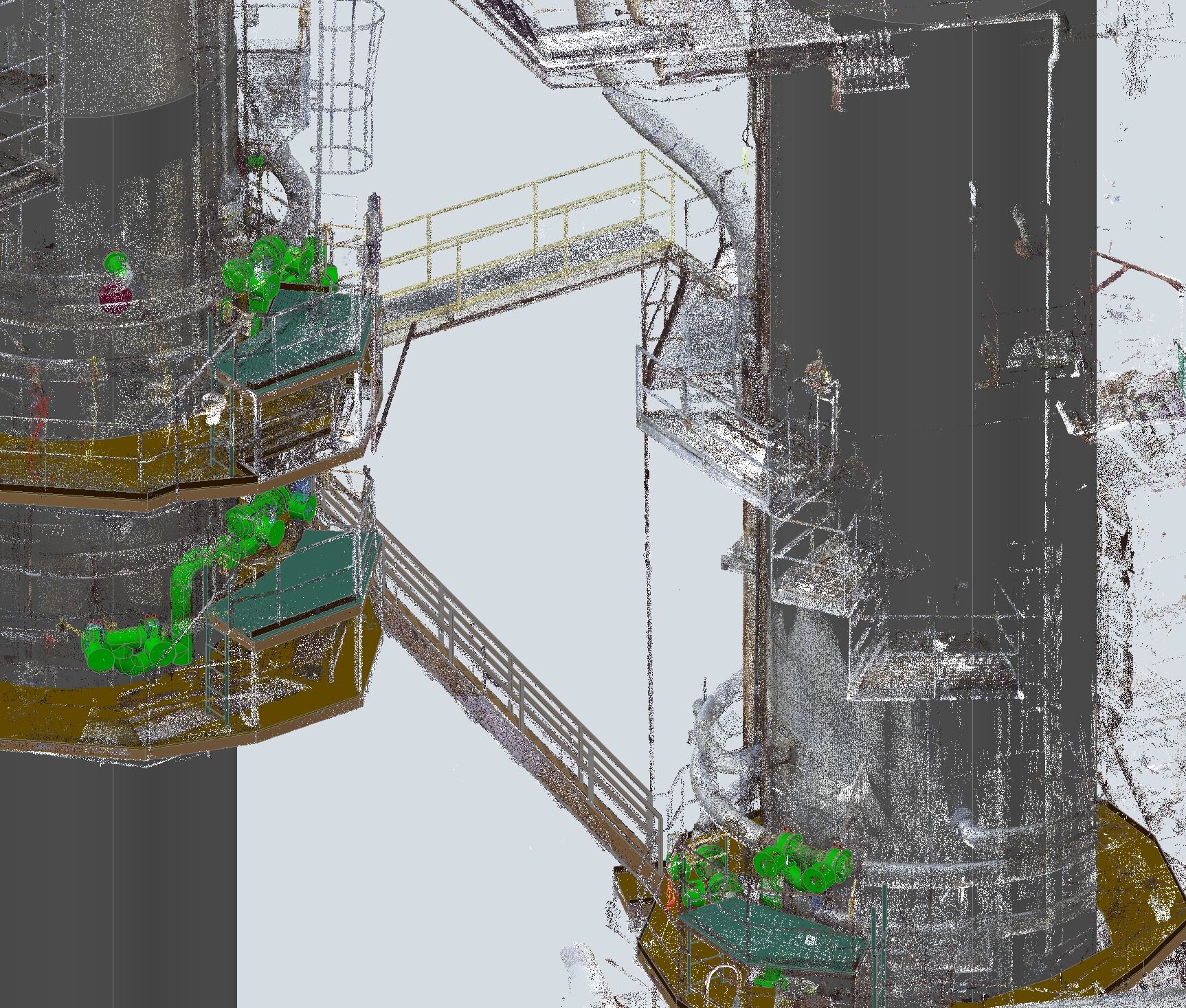
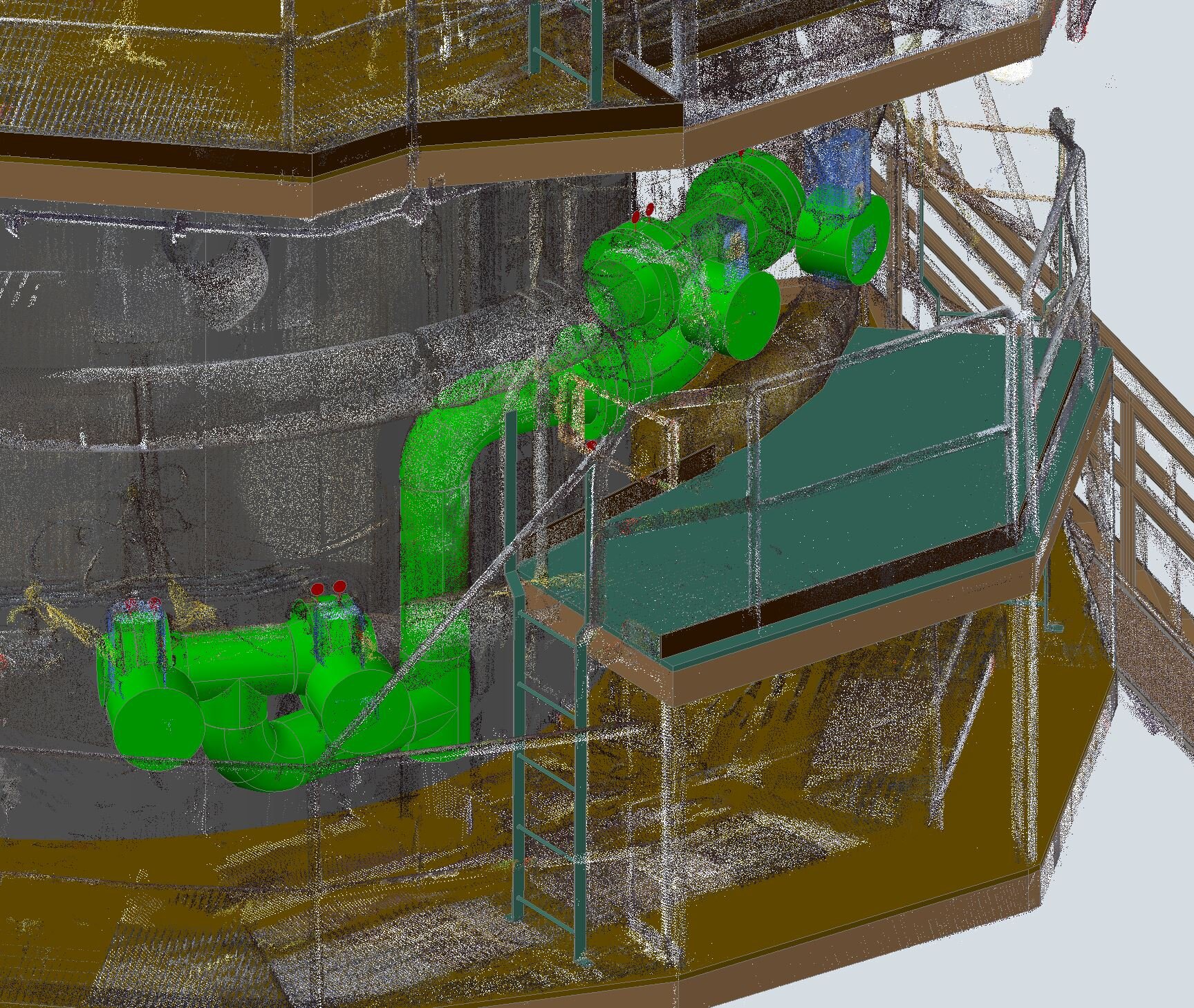
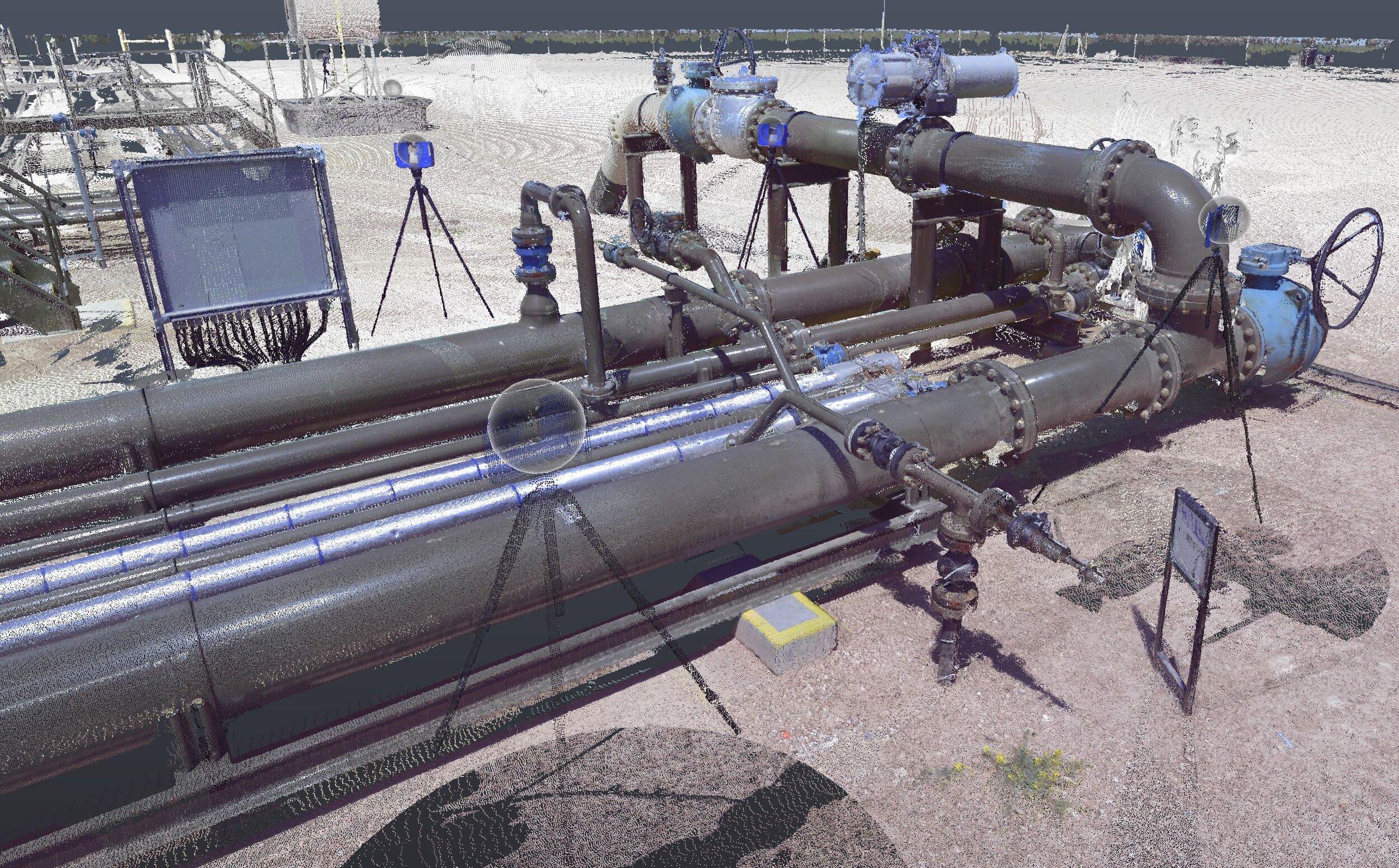
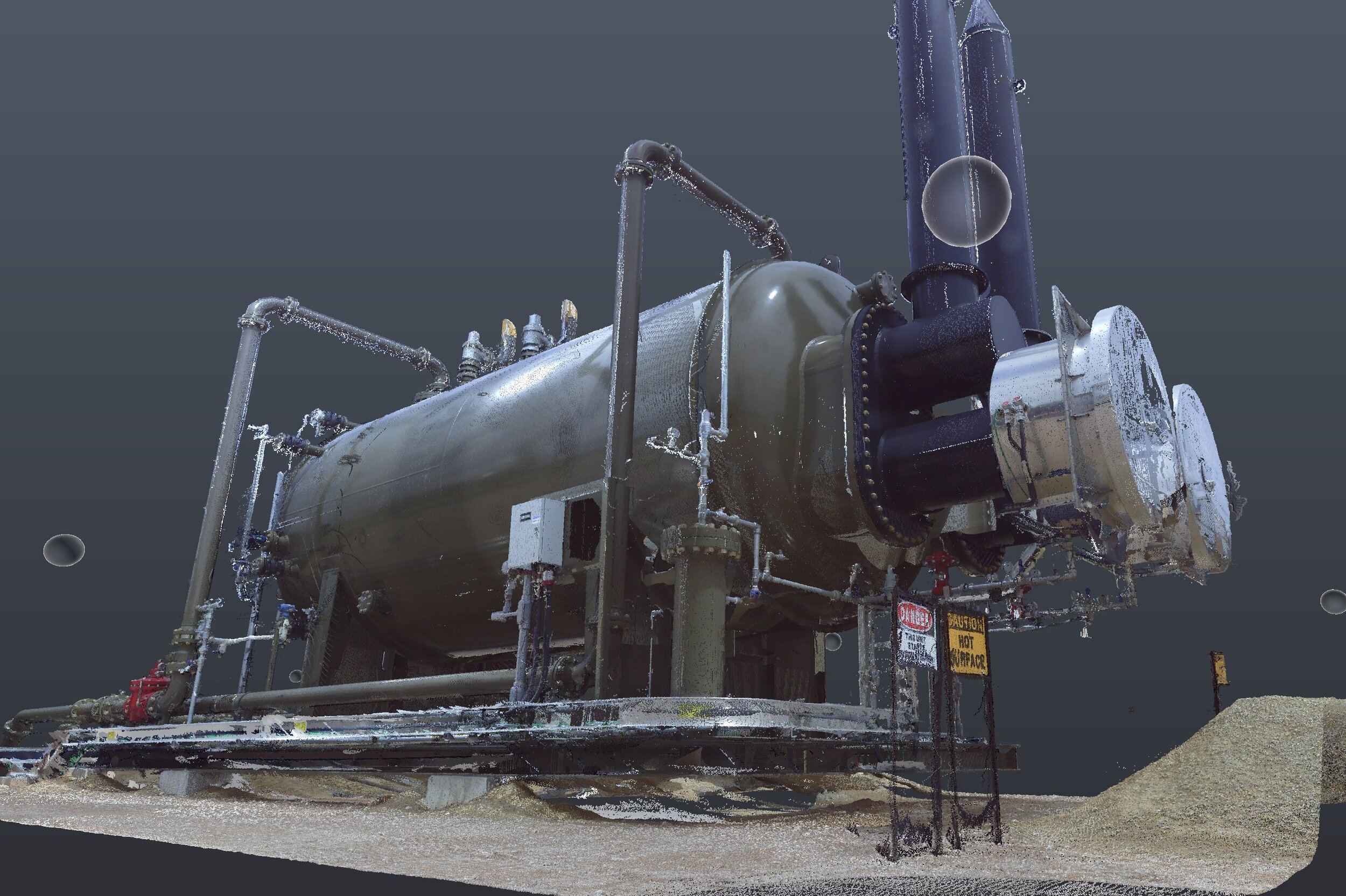
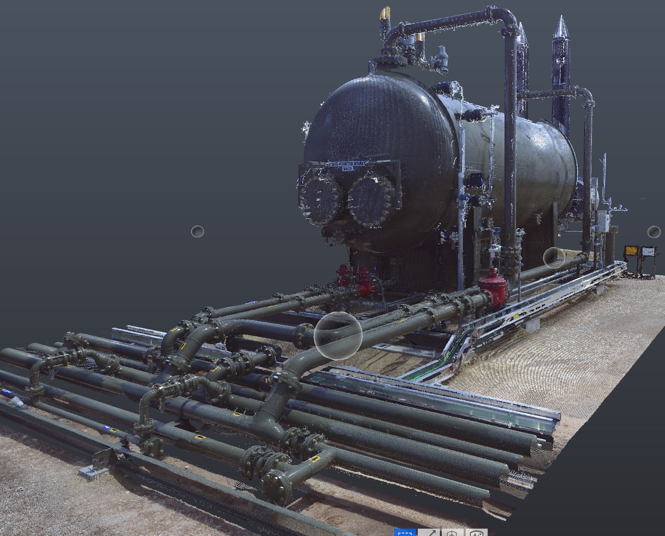
3D SCANNING
Basin Design Service, LLC utilizes the latest 3D Laser Scanning technology and software to gather the best results available today. We employ the use of FARO Laser Scanners as well as a drone equipped with the 3DR Site Scan survey program for detailed measurements of any given site or piece of equipment. Our FAA part 107 drone certified pilots have the license and expertise to generate accurate results everytime. These are the most effective solutions for measuring and locating the most challenging as-built conditions in any environment with real life accuracy.
3D Scanning (Terrestrial and Drone)
Drone Photography
Plot Plans From Drone
Document Management
AutoCAD Plant 3D
CADWorx Plant
Navisworks